Google Earth Engine——Layer error: Description length exceeds maximum.解决办法
Google Earth Engine——Layer error: Description length exceeds maximum.解决办法

问题:
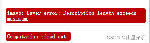

图片上的问题主要在于imag5.sum().clip(table),
另外,如果是imagecollection的话不能直接裁剪,不许经过一系列运算,也就是镶嵌mosaic()或者.first()编程一张影像才可以进行裁剪和reduceRegion()等一些列最大值、最小值、平均值的计算
Map.addLayer(eeObject, visParams, name, shown, opacity)
Adds a given EE object to the map as a layer.
Returns the new map layer.
Arguments:
eeObject (Collection|Feature|Image|RawMapId):
The object to add to the map.
visParams (FeatureVisualizationParameters|ImageVisualizationParameters, optional):
The visualization parameters. For Images and ImageCollection, see ee.data.getMapId for valid parameters. For Features and FeatureCollections, the only supported key is "color", as a CSS 3.0 color string or a hex string in "RRGGBB" format. Ignored when eeObject is a map ID.
name (String, optional):
The name of the layer. Defaults to "Layer N".
shown (Boolean, optional):
A flag indicating whether the layer should be on by default.
一个标志,表示该层是否应该默认打开。
opacity (Number, optional):
The layer's opacity represented as a number between 0 and 1. Defaults to 1.
图层的不透明度,用0到1之间的数字表示,默认为1。
Returns: ui.Map.Layer
这里一般只选择用前三个参数就够用了!
Map.addLayer(result_ndvi, visParam, 'Matched study area ndvi image method2');
result_ndvi,争取将所有的参数都在外面计算完成,完了直接放变量在这个里面,避免计算超限等等不必要的错误。