
在地图中可视化Neo4j空间数据库
在地图中可视化Neo4j空间数据库
提问于 2016-03-25 19:11:40
我已经能够将一些shapefiles导入到Neo4j 2.3.1。现在如何在地图上查看这些数据?
我已经在GeoServer和uDig上尝试过Wiki的指令,但是它们都已经过时了,我无法让它开始工作。
最近有什么教程或其他工具可以解决这个问题吗?
回答 1
Stack Overflow用户
回答已采纳
发布于 2016-03-28 16:57:41
我使用了Mapbox.js中的新4j空间来可视化地图中的几何图形。
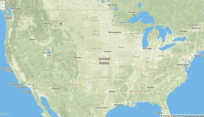
对于我的用例,我在新4j空间中索引了美国国会地区的几何图形,然后根据用户点击地图的位置查询空间索引,返回最近的区域,包括WKT字符串和Cypher查询的结果。为了在地图中呈现WKT多边形,我编写了一个简单的javascript函数,将其解析为一个点数组,以添加一个地图注释。
下面是一些相关的代码片段:
创建映射并为映射定义单击处理程序:
L.mapbox.accessToken = MB_API_TOKEN;
var map = L.mapbox.map('map', 'mapbox.streets')
  .setView([39.8282, -98.5795], 5);

map.on('click', function(e) {
  clearMap(map);
  getClosestDistrict(e);
});
手柄鼠标单击
/**
  *  Find the District for a given latlng.
  *  Find the representative, commitees and subjects for that rep.
  */
function infoDistrictWithinDistance(latlng, distance) {

  var districtParams = {
    "layer": "geom",
    "pointX": latlng.lng,
    "pointY": latlng.lat,
    "distanceInKm": distance
  };

 var districtURL = baseURI + findGeometriesPath;
 makePOSTRequest(districtURL, districtParams, function (error, data) {

   if (error) {
    console.log("Error");
   } else {
    console.log(data);

   var params = {
    "state": data[0]["data"]["state"],
    "district": data[0]["data"]["district"]
   };

   var points = parseWKTPolygon(data[0]["data"]["wkt"]);

   makeCypherRequest([{"statement": subjectsQuery, "parameters": params}], function (error, data) {

    if (error) {
      console.log("Error");
    } else {
      console.log(data);

      var districtInfo = data["results"][0]["data"][0]["row"][0];
      districtInfo["points"] = points;
      districtInfo["state"] = params["state"];
      districtInfo["district"] = params["district"];
      console.log(districtInfo);

      addDistrictToMap(districtInfo, latlng);
    }
   });
 }
});将WKT解析为点数组
/**
 *  Converts Polygon WKT string to an array of [x,y] points
 */
function parseWKTPolygon(wkt) {
  var pointArr = [];
  var points = wkt.slice(10, -3).split(",");

  $.each(points, function(i,v) {
    var point = $.trim(v).split(" ");
    var xy = [Number(point[1]), Number(point[0])];
    pointArr.push(xy)
  });

  return pointArr;
}代码在这个回购中。您可以看到简单的地图演示这里 (只需单击美国的任何地方即可开始)。最近还有一篇关于这个例子这里的博客文章。
页面原文内容由Stack Overflow提供。腾讯云小微IT领域专用引擎提供翻译支持
原文链接:
https://stackoverflow.com/questions/36226377
复制相关文章
相似问题
腾讯云开发者
